


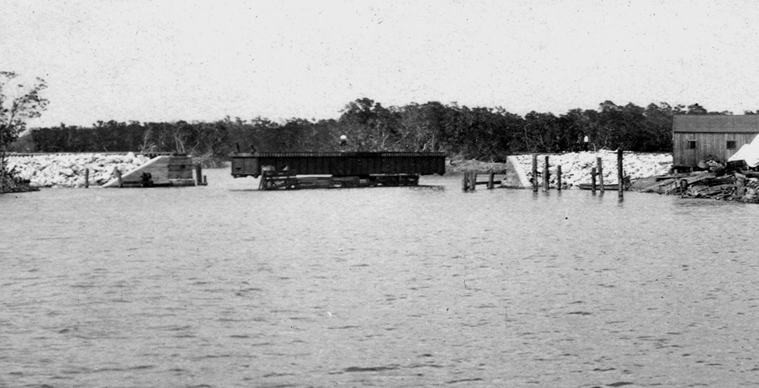
There have been many versions of the Overseas Highway. When it opened to public use in 1928, the original path followed the Card Sound route. The 18-Mile Stretch section, as well the Jewfish Creek Bridge, were not incorporated into the highway system until the third version of the highway was celebrated in 1944. When the Jewfish Creek Bridge was first constructed as a conduit for Henry Flagler’s Over-Sea Railroad it had a 100-foot swing bridge. When a boat needed to pass, the bridge tender was able to take a crank and turn it, turn it, turn it until the bridge began to swing open.
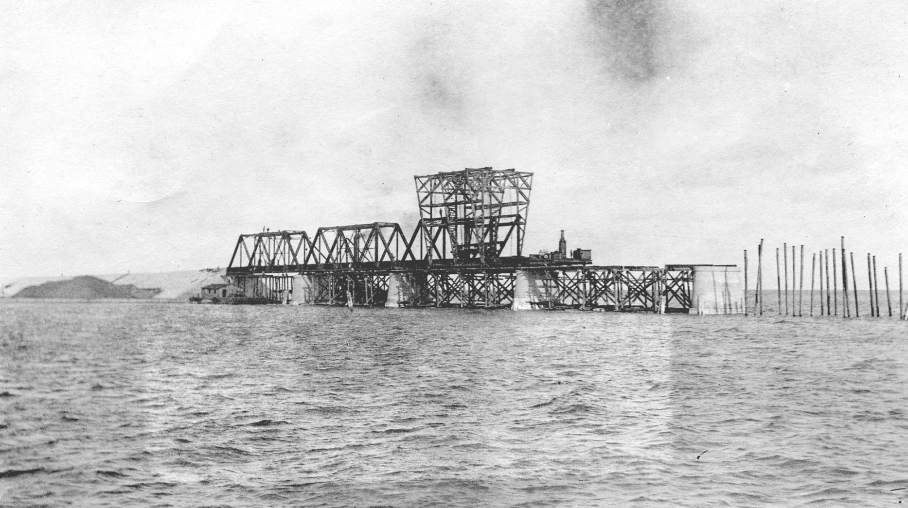
Some 62 miles down the road, the modern Seven Mile Bridge became incorporated into the Overseas Highway when it opened to traffic in 1982. For the record, at 35,862 feet in length the bridge is 1,098 feet short of seven miles. The original Seven Mile Bridge was technically four bridges made up of the Knights Key Bridge (6,803 feet), Pigeon Key Bridge (5,935 feet), Moser Channel Bridge (13,947 feet), and the Pacet Channel Viaduct (9,035 feet).
The first three, Knights Key, Pigeon Key and Moser Channel sections were built using concrete piers reinforced with ¾ inch steel rods. Steel girders, 80 feet long and weighing 41.5 tons, were lowered across the piers to create the foundation to which the railroad tracks were later attached. The fourth section, the Pacet Channel Viaduct, utilized a series of arches to support the tracks. Like the Jewfish Creek Bridge, a swing bridge was built into the Moser Channel section to allow for boat traffic using the shipping channel.
For railroad workers who had completed construction of the Seven Mile Bridge, the 5,055 feet separating Bahia Honda Key from Spanish Harbor Key must have looked like a short and manageable expanse. Though the end result is probably the most iconic of the bridges and certainly the most picturesque, the Bahia Honda Bridge was one of the most difficult to construct — largely because of the dangerously strong currents ripping through the pass during tidal changes. As a result, work days on the bridge piers were cut to two 45-minute shifts during slack tide, the short time between the high and low tides when the water becomes still.
When the railroad was still operating, passengers were told to keep their hands and heads inside the train as it rambled and roared through the camel-trestle bridge 25 feet above the water.
After the 1935 Labor Day Hurricane ended the run of Flagler’s Over-Sea Railroad, many of the railroad bridges were refitted to accommodate automobile traffic. When the second version of the highway opened to traffic in 1938, the road passed through what is today Bahia Honda State Park and up and over the top of the bridge, 65 feet over the clear, colorful water. Stories passed along from those days say the bridge was so narrow that when two buses happened to pass, their side-view mirrors would smash into each other. The modern Bahia Honda Bridge used by the highway today opened to traffic in 1972. Brad Bertelli is curator of the Keys History & Discovery Center. Photo: Jerry Wilkinson Collection
By BRAD BERTELLI


