By Charles Fulco
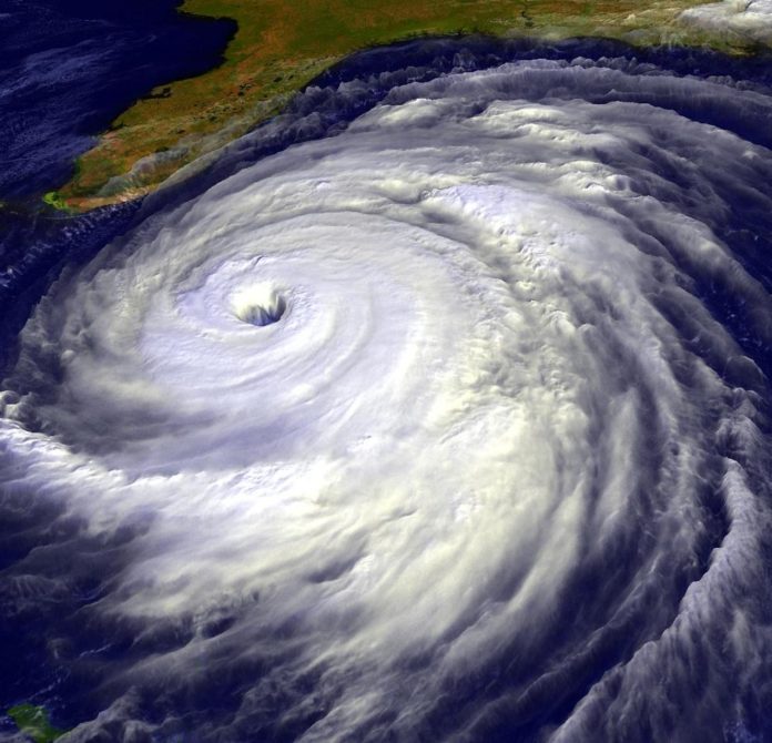
It’s officially hurricane season in the Keys again, but Irma-weary residents will be glad to know the current forecast calls for much-reduced activity in the areas where tropical depressions form. National Weather Service (NWS) Senior Forecaster Bill South in Key West says the three essential factors normally needed to produce and sustain hurricanes are not currently present: namely, water surface temperature at 80 degrees or higher, an extensive layer of low-pressure air, and reduced wind shear.
The water temperature in the Atlantic Ocean off the Antilles (a typical area of tropical storm formation) has been running about 3 to 4 degrees lower than this same time last year. This may not sound like much to the non-meteorologist, but these are the lowest-recorded temps since the early 1980s and are significant enough to lessen the probability of storms this season. Interestingly, the water temperature differential earlier this spring was just about the same as last year’s temps, giving rise to initial dire predictions for 2018.
These lower water temps combined with stronger trade winds and higher barometric pressure make South cautiously optimistic for a less active hurricane season for the Keys this year.
“Another factor we can all root for has been the appearance of el Niño,” South said, “It tends to increase wind shear, which can literally tear apart conditions that potentially spawn hurricanes.”
While all this seems positive, South warns Keys residents to remain on guard for the entire season.
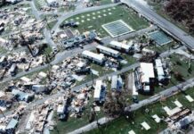
“Hurricane Andrew was one of only five hurricanes to develop 1992,” he said, “And we’re still talking about it 25-plus years later. Keys residents should not change the way they normally prepare.”
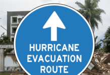
In addition to the plywood, hardware, non-perishable foods, fresh batteries and other staples we’re all familiar with, South suggests investing in an inexpensive weather-band radio, which picks up NWS signal (broadcasting at 165.55 Mhz) for five-day advanced tropical storm alerts. “The farther in advance you get the information of an impending storm, the more time it gives you to make the necessary plans to shore up your property and potentially beat the crowd if you need to evacuate,” he said.
For those whose memories of last year’s evacuation are still fresh, this is a well-heeded bit of cautionary advice indeed.
Colorado State University hurricane experts project a near-average hurricane season for 2018, with 13 named storms forming during this period. With Alberto already in the books, the final season total is expected to be 14.
Six of these are forecast to attain hurricane strength, and two are expected to be major hurricanes (Category 3 or higher intensity). Those numbers are down from the original CSU forecast issued in April, which predicted seven hurricanes and three major hurricanes.


