Waves crash over the seawall at Key West’s Southernmost Point buoy Tuesday afternoon. The heavy seas are expected as tropical storm conditions resulting from Hurricane Ian to the west approach Key West. LARRY BLACKBURN/Keys Weekly
Hurricane Ian is sending tropical storm conditions to Key West and the Lower Keys, with winds of 40 to 45 mph expected through Tuesday night, and storm surge 1 to 3 feet above normal high tides on Wednesday.
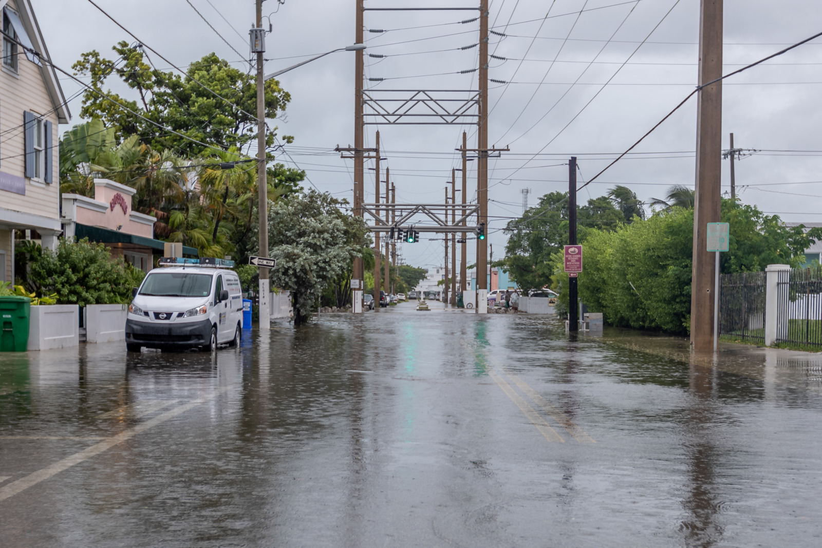
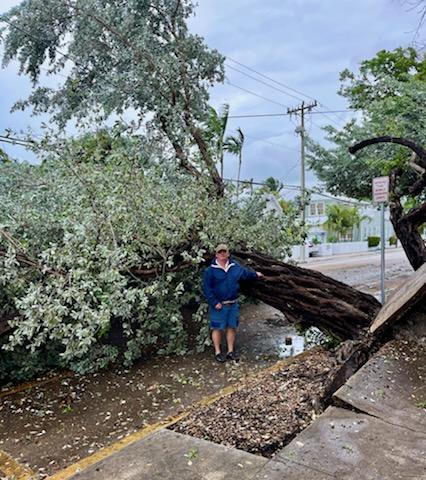
Unusually high tides and heavy rains exacerbated street flooding in several parts of Key West and Stock Island. Officials were receiving sporadic reports of downed trees and were still able to send trucks and crews to clear them from road as of 3 p.m Tuesday.
Key Westers on Tuesday were taking the high water and heavy winds in stride, grateful that Hurricane Ian remains far enough west and mindful of those in the hurricane’s direct path.
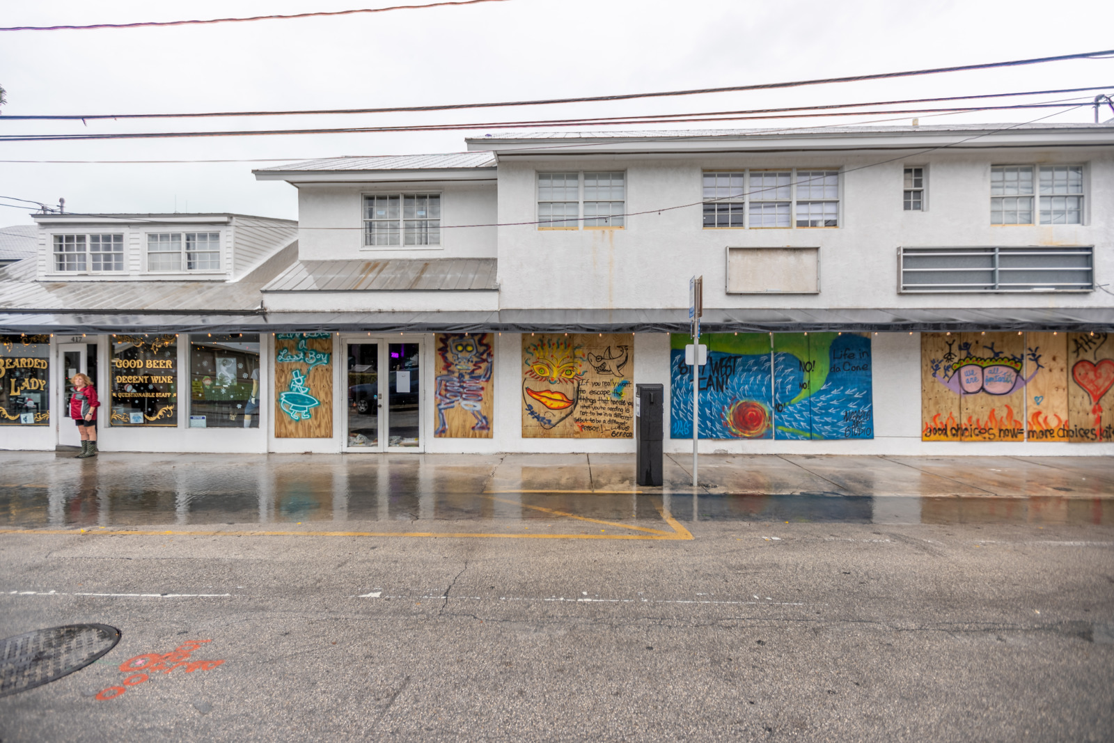
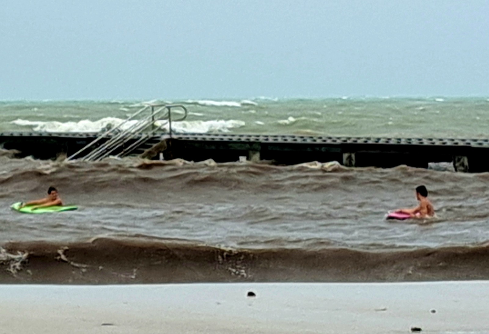
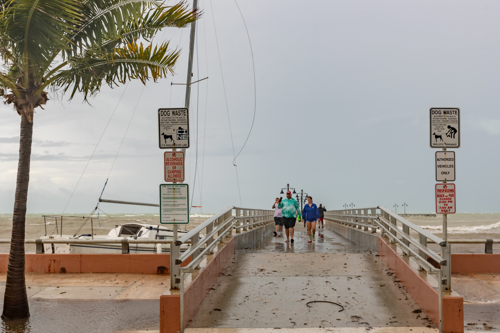
White Street, near Elgin Lane, is underwater Tuesday afternoon. LARRY BLACKBURN/Keys WeeklyBusinesses on Southard Street near Whitehead are artistically protected. But the Bearded Lady bar was open for business. LARRY BLACKBURN/Keys WeeklyTwo people attempt to surf the chop Tuesday afternoon at Higgs Beach in Key West. MANDY MILES/Keys WeeklyNinth Avenue on Stock Island was covered in water, but still passable Tuesday afternoon. MANDY MILES/Keys WeeklyA wayward sailboat bangs against Knight Pier in Key West Tuesday afternoon. The pier and beach were lined with storm watchers and photographers. LARRY BLACKBURN/Keys WeeklyDowned tree Tuesday evening at United and Duval streets in Old Town Key West. Photo courtesy of Jim Gilleran.
Subscribe To Our Newsletter
Get Keys Weekly delivered right to your inbox along with a daily dose of Keys News.
Success! Please check your email for confirmation.


