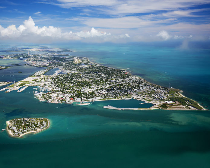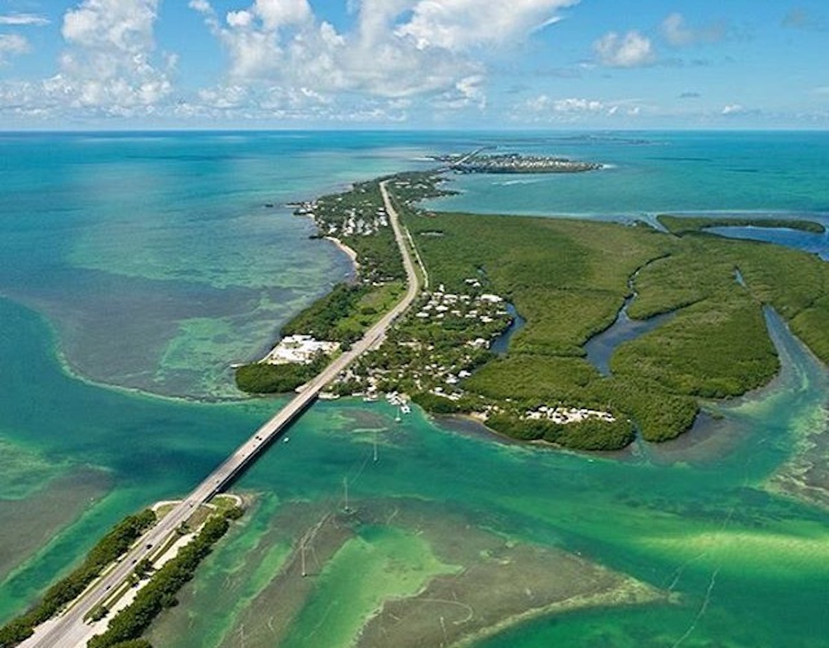
Representatives from various governmental entities convened with leaders in the fields of public works, infrastructure development, and thinkers from business and higher education for the 11th annual Southeast Florida Regional Climate Leadership Summit in Key West last week. Out of the summit came national exposure on sea level rise and the exorbitant amount of money that it would take to raise roads in the Keys — namely a 3-mile stretch of road on Sugarloaf Key that may or may not be able to be saved, given rising water levels. Despite the doom and gloom that appeared in the headlines, municipalities up and down the islands have been hard at work planning and implementing resilient strategies. Much work lies ahead, but here’s what the Keys have done to rise with the tide.
THE SEA LEVEL DATA
One of the most useful pieces of historical data is NOAA’s tide and currents data. Among other information, users can see a 50-year sea level measurement for Key West.
“Key West is unique in that we have data that goes back into the early 1900s,” said Jon Rizzo, of the National Weather Service office in Key West. “When you try to take measurements year by year, there’s a lot of ‘noise’ — or variation.”
What the chart shows is average sea level rise over a 50-year period extending on either side of a fixed point. For example, the sea level rise for 1940 (but spanning the years from 1915 to 1965) was 2.43 millimeters a year. That trend held very steady until 1950 when it started falling, and those lower levels of average sea level rise persisted through the 1970s.
“Remember the Time Magazine headlines about the next ice age?” asked Rizzo. “The sea levels were lower in that period because of the cooling trend. When it was over, sea level rises recommenced a gradual rise.”
The most recent 50-year calculation was for 1990, and it shows a 2.76 millimeter rise per year. (Again, this covers 1965 to 2015.)
“The rate of rise is increasing,” Rizzo said. He said NOAA’s current sea level rise shows an increase of about 11 inches over a century. That’s compared to the 9 inches over the previous century.
Rizzo emphasizes, however, that tides and weather play a much bigger role in flooded neighborhoods than sea level rise. He said the recent king tides were severe and said it may be a few more years before we see that type of residential flooding again. He also said he believes that tidal and weather phenomena will continue to interact more frequently in the coming years, and the affects will be worse because of the incremental sea rise.
One of the most confusing aspects of this data is when it is recalculated. Every 20 years or so, when the moon completes an orbit, called a tidal epoch, NOAA recalculates the average sea level. Rizzo said this doesn’t affect the sea level trend data, which calculates only the rate of rise, not the actual height itself.

MARATHON
The City of Marathon is already actively engaged in meeting the terms of the Perils of Flood legislation signed in 2015 by then-Gov. Rick Scott. It requires local governments to consider future flood risk from storm surge, nuisance flooding and sea level rise in its comprehensive plan. The city is using sea-level rise projections from the Southeast Florida Regional Compact on Climate Change.
For Marathon, that means a sea level rise of 6 to 10 inches by 2030, 14 to 26 inches in 2060 and 31 to 61 inches in 2100.
City officials said they would take the information and start thinking about some immediate solutions — like raising roads affected by nuisance flooding. Or considering what a 2-foot sea level rise would mean to infrastructure, ranging from mechanical (like a sewage plant) to natural (like an undeveloped shoreline).
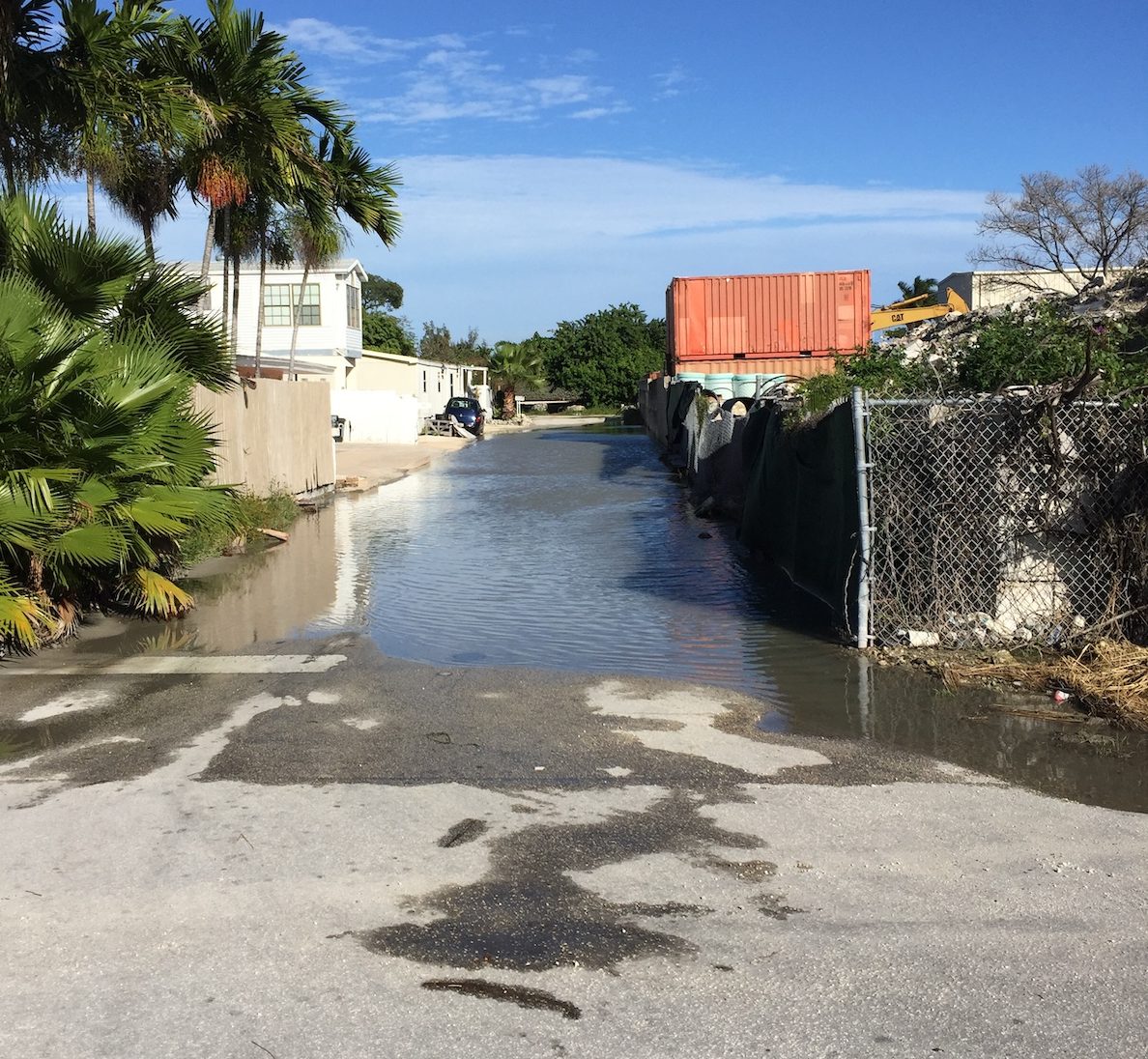
There are five areas in Marathon that habitually flood — “the rock” between 39th and 42nd streets, 92nd Street, parts of Flamingo Isle, near the country club, and the boat ramp on Harbor Drive.
The city has two types of deep injection wells used to handle flooding. The first is gravity-fed — the pressure of the water on top of the street is greater than the pressure in the well, forcing it down. The second uses electric pumps, placed on platforms out of the flood zone.
The worst is the area known as “the rock,” where the floors of the ground-level homes are, in some cases, just inches above the streets. When the area floods, so do the homes. Raising the road levels would exacerbate the flooding of homes, said Carlos Solis, Marathon’s utility director.
The city has installed an injection well powered by a pump in that neighborhood. The system was recently retrofitted at a cost of about $340,000. Solis said the system isn’t perfect and isn’t capable of handling every rainfall or storm, but has improved the situation.
“Where the water used to sit for weeks, now a big event can be cleared up in a matter of days,” he said.
“The problem with some of the gravity wells is that they also utilize what is essentially a French drain which doesn’t help the situation,” he said. “The water trickles out of the pipes back into the area that was already flooded.”
Water moves the other direction, too. There is no clear answer for the flooding that happens near the boat ramp at Harbor Drive. Even if the city were to install some type of gate system, the porous nature of the ground would defeat the effort, Solis said.
“This is coral rock. Water is going to come up through it when there is a high tide and a gate won’t stop the problem,” Solis said.
Recently, the Florida Keys Aqueduct Authority replaced aging infrastructure along Sombrero Beach Road and Sombrero Beach Boulevard. In order to “de-water” the trenches and make the installation, the water utility applied, and was approved for, the creation of temporary injection wells. Normally, the water utility would have filled in the wells when the construction was complete. But the City of Marathon saw an opportunity to preserve the injection wells and eventually turn them into a gravity or pump-operated injection well.
“There were four along Sombrero Beach Road and two along Sombrero Beach Boulevard. Through some interagency cooperation, we were able to negotiate the right to those wells. We’ll install equipment when we can, but at least we don’t have the cost of digging the well in the first place. That probably saved us about $250,000,” Solis said.
A typical pump-driven injection well is about 120 feet deep. The first 70 feet are “capped” with a PVC pipe, and so water doesn’t actually enter the ground until the uncapped part of the well at 70 feet or deeper.

ISLAMORADA
Taking a proactive approach to address flooding and sea level rise, the village conducted the Islamorada Matters plan. Officially launched in 2014, the plan is the culmination of a project intended to begin the process of addressing these challenges while furthering existing efforts to make the village more resilient long-term.
The plan looks at ways to address sea-level rise impacts with planning and implementing adaptation measures, in addition to building adaptive capacity based on knowledge gained from a vulnerability assessment for 2030 and 2060 scenarios.
“It’s a comprehensive plan with adaptation and sea-level rise action plans,” said Peter Frezza, village environmental resources manager. “We defined steps that would be taken in the short, middle and long term to adapt to sea level rise. There’s policy in there we’re starting to implement.”
The vulnerability assessment within the plan includes a comprehensive evaluation of ground elevation relative to current and future tidewater heights for roads, public buildings and other critical infrastructure. Based on results of the vulnerability analysis, two facilities were found to be vulnerable to the highest sea level rise scenarios modeled for 2030: the wastewater pump station located at 142 Sunshine Blvd. and Fire Station 19 located at 74070 Overseas Highway.
The vulnerability assessment results suggest that future sea level rise not only has the potential to expose the Fire Station 19 structure to extreme event flooding, but also that the site is located on a low grade with potential susceptibility to future nuisance-level flooding in transport corridors.
Also, because U.S. 1 is built to a low grade between White Marlin Boulevard and Palm Drive, long-term flood resilience and sea level rise adaptation planning for Fire Station 19 should be closely coordinated with drainage improvements and increased grade elevation of U.S. 1 within this corridor.
HARDENING SEA OATS BEACH
Frezza said the shoreline hardening of Sea Oats Beach in Lower Matecumbe is a big, difficult project on a 1.3-mile segment of critically eroded beach in Islamorada. Erosion threatens recreational interests and U.S. 1 along Sea Oats Beach.
Hurricanes Rita and Wilma in 2005 caused moderate beach and dune erosion and flooding in this segment. The Florida Department of Transportation constructed a road shoulder stabilization project in 2008. Hurricane Irma
in 2017 severely affected this area.
“As long as the road is where it is, there will never be a beach there again because there’s no room for the beach to migrate,” he said. “That’s how far up the water levels have come.”
Frezza said he’s pushing to work in some kind of living shoreline as part of the hardening project with the Army Corps of Engineers.
“Of course, projects are very expensive — in the millions of dollars,” he said. “When a federal agency comes in and pays for a mitigation project, we’re not going to tell them ‘no,’ but we may not have as much say as we like.”
In addition, Frezza said the Florida Department of Transpiration is looking to complete shoreline stabilization at Sea Oats, the rest of Lower Matecumbe and the Fills starting a year from now.

KEY WEST
The City of Key West has spent tens of millions of dollars and nearly a decade improving its drainage issues and tide-related flooding with a carefully managed and budgeted stormwater master plan that aims to remove standing water from streets while improving nearshore water quality.
Twenty years ago, before the city tore up miles of streets to begin installing the new system, the owners of Front Street restaurants stored their own sandbags alongside the building and grew accustomed to mopping up their bar and dining rooms during unusually high tides such as those that occur during a full moon.
That was also when rainwater runoff carried pollutants into storm drains, where they were released through 63 outfalls into near shore waters with very little filtration or treatment.
“As improvements are made at intersections throughout the city, our most effective means of pollutant reduction and water flow reduction is a well system,” city documents state. Underground treatment wells remove pollutants from storm water before releasing the runoff into near shore waters.
“Key West’s efforts are intended to help improve stormwater drainage, thereby lessening the effects of flooding due to rain, although no stormwater system can mitigate the effects of a hurricane storm surge,” the city’s website states.
The city of Key West has also developed a stormwater capital plan to prioritize projects that will “prevent flooding, divert stormwater flow from outfalls, and reduce/eliminate discharge of pollutants and contamination of near shore waters,” the capital plan states. It provides for a comprehensive management system and includes installation of five pump-assist injection wells, elimination and/or retrofit of 63 outfalls, installation of injection wells and retrofit of existing injection wells.
“Vertical French drains have already been designed and installed to address small areas of standing water in an affordable, cost effective way.”
RESPONSE TO NATIONAL COVERAGE on Sea Level Rise
Heather Carruthers
Monroe County Mayor
“Obviously, on a global level, we should have been dealing with this 40 years ago,” said Carruthers. “But in Monroe County, we’ve already been addressing this: We’ve had the toughest building codes in the state for decades; we’ve made tough choices with regard to downstairs enclosures. We broke our own height restrictions to allow property owners to elevate their homes. The county is elevating our fire stations and other new facilities.”
“Let’s also remember that issues related to climate change are not specific to just sea level rise. There are drought, wildfires, and other issues.
“The fact that we are at least working to respond to these issues is a big step.”
Jim Mooney
Islamorada councilman
“The climate summit really wasn’t doom and gloom. Actually to the contrary, it’s encouraging to know that this coalition exists between the counties in South Florida, and there’s a will to make this work,” he said. “Look, the Earth has been going through climate change long before we ever walked on it, and we just happen to be here to witness it.”
“I think several panel members said it best, that this is not about drawing a line in the sea. This isn’t Monroe County versus Palm Beach, or Palm Beach versus Miami-Dade. This is going to affect us all. We have two options, we lead by example or we don’t. I think the leadership is there. I feel comfortable there’s a lot of positive stuff coming out of here.”
Peter Rosasco
Key Largo Wastewater Treatment District general manager
Installing drainage improvements can improve flooding situations, but for whatever reason, “the water is higher, it’s staying longer and it’s appearing in places we’ve never seen it before.”
“Having stormwater systems in place will help, but only to a degree,” he said. “In Key Largo, when sewers were installed, the stormwater system was not done. And in some cases with this flooding, these places have always flooded, but again, the water is higher, it’s staying longer and it’s also appearing in places it hasn’t previously been. Stormwater systems are an effective tool, plus it’s the law, but when the islands overflow, there’s not much you can do.”
THE MARKET
Realtor and broker Brian Schmitt is nonplussed about the article that appeared in the New York Times on sea level rise.
“The story deals with the worst-possible case scenario and an inordinate amount of money to protect a limited amount of homes,” said Schmitt. “The only possible reason to start there is to create drama.”
He said he was raised in a house just two houses down from where he lives now. He said the water is higher, but it is not the end of the Florida Keys and cited Venice, Italy, which deals with regular flooding.
“It’s my belief that we will be able to somehow deal with it. Not scare people, which is typically what the media tries to do. We’ve known about this for many, many years and, yes, it should be talked about in rational terms instead of choosing the worse-case scenario,” Schmitt said.
Another Realtor, who asked to remain anonymous, said two sellers read the story and called to adjust their asking price downward, but “they were overpriced anyway.”


