Here’s a little known fact about Brian Schmitt of Coldwell Banker Schmitt Real Estate: besides being an industry expert on one of the Keys’ most important economic sectors, he’s also an avid map collector.
“Maps are the confluence of art and science,” he said.
And now, he’s written a book.
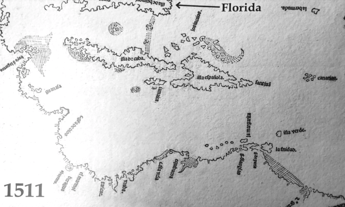
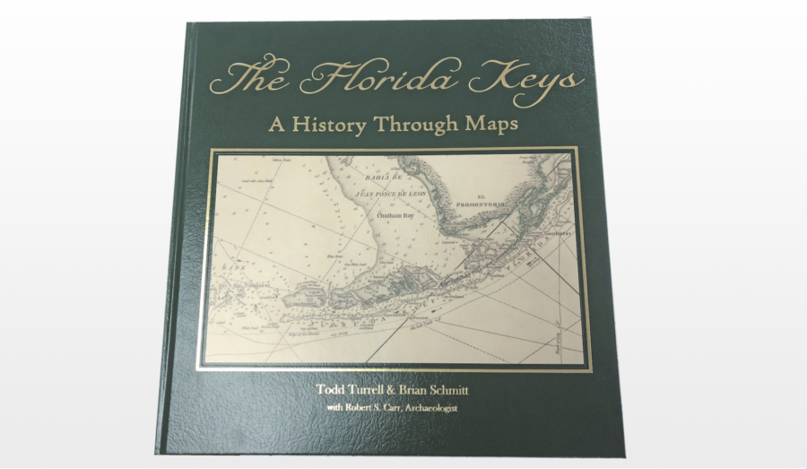
“The Florida Keys: A History Through Maps” is co-authored by Schmitt and Todd Turrell and Robert Carr, a South Florida archaeologist. One of the centerpieces of the book is Schmitt’s rare 1511 map by Peter Martyr, an Italian-born but Spanish-employed cartographer. He pieced together the representation using interviews with captains and explorers.
“Once acquired and aggregated into maps, this geographic information was jealously guarded, allowing Spain and Portugal to maintain an advantage in trade and colonial expansion over other European countries,” said Schmitt.
The date of that map, however, is of incredible significance. It dates back to 1511. Three years before Ponce De Leon “discovered” Florida.
“Ponce de Leon may have named Florida in 1513, but it’s evident from earlier maps that he wasn’t the first to discover it,” the book states in bold typeface, on page 6.
More than solely a study of ancient maps and European exploration of the Americas, “The Florida Keys – A History Through Maps” covers the creation of the Florida Keys Archipelago chain, the Native Americans who once populated them, the Spanish who “discovered” them, the pioneers who farmed them, and eventually, the railroad men and developers who sculpted the land, connecting the many individual islands with causeways and bridges.
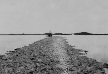
That last part, about sculpting the land, is perhaps the most riveting part of the book. Dredging and filling began in the Keys, of course, with the construction of Flagler’s railroad. “In the 1950s and 1960s, large-scale communities began to rise out of the shallow seas and mangrove swamps to supply the demand for waterfront homes,” the book states.
From pages 124-149, is a series of 1959 aerial photographs of different parts of the Keys followed by a clear page overlay, depicting the island’s current development. What’s immediately visible on the aerial maps are sections of clean, white fill. For example, most of Ocean Reef was built on existing land. Channel Cay Drive, however, was dredged and filled to create a U-shaped land mass on the south side of the development.
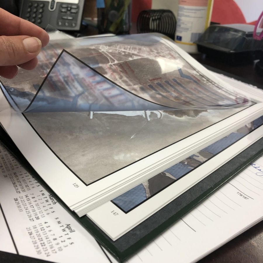
All the land on the northwest side of Sombrero Key is dredge-and-fill, too. The golf course is man-made as is little Flamingo Island.
“I bought my first old map at an antique store in Key West,” said Schmitt. “And growing up it he Keys, and growing up in a real estate family development environment, well … maps and charts and plats were intrinsic to our work.”
Schmitt started the book before Hurricane Irma and the beautiful tome was set to launch just as COVID-19 came on the scene. Still, the very nature of the history book says it will endure. The book is available for sale at Uniques by Kennedy Studios in Marathon, as well as online at www.floridakeysbook.com.

