


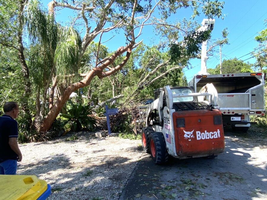
One would have concluded a tornado touched down around MM 89 by the sound of the wind and view of the destruction left in and around the Indian Mound community in Islamorada late Sunday night.
The surprising sequence of events occurred during the late night hours of July 21, when residents in the neighborhood were awakened to the sounds of wicked winds and a strong downpour around 11 p.m. on Sunday. The storm only lasted minutes as residents opened their doors to see all sorts of destruction. Large limbs were down, power lines dangled and garbage cans, mailboxes, outdoor furniture and other debris lined the street.
Power was cut to hundreds of residents for several hours until it was restored by Florida Keys Electric Cooperative crews during the early hours of Monday morning.
Jon Rizzo, warning coordination meteorologist with the National Weather Service out of Key West, said the activity wasn’t a tornado as many initially thought. Rizzo said damage assessments suggest it was a wet microburst, or a localized column of sinking air within a thunderstorm roughly 2.5 miles in diameter. Wind from microbursts can reach 100 mph or higher — equivalent to an EF-1 tornado.

From the damage he’s seen from Iroquois, Sioux and Navajo streets via photographs and videos, Rizzo said the winds within the microburst ranged anywhere between 60 and 85 mph.
“These events are rare in the Florida Keys, but not unprecedented,” Rizzo told Keys Weekly. “There wasn’t an impact to the whole length of Plantation Key. It was generally over an area 1 mile wide. During microbursts, the rise in wind is fast. It’s literally a matter of seconds.”
Rizzo said the radar didn’t show any deep rotation in the storm system that would suggest it was a tornado.
In some of the hardest-hit sections on Iroquois and Sioux streets, residents and their friendly neighbors continued the cleanup on Monday morning.
No injuries were reported from the wild weather, per Islamorada Fire Chief Terry Abel and Village Manager Rob Cole. A response to clear roads and conduct safety checks began during the early overnight hours and into Monday afternoon, Cole said.
“Assessment efforts have included personnel from fire, building and code and public works departments,” Cole said.
Property owners in the affected areas of Indian Mound are advised to place compact vegetative debris in standard yard waste containers, with larger debris placed roadside for pickup by the village, Cole added.
Recounting the events
Sioux Street resident Brad Bertelli, whose front porch was struck by a tree, said the thunder and lightning started around 11 o’clock.
“It was raining and I was happy our yard was getting rain,” Bertelli said.
The wind soon picked up, and at the height of the storm a gumbo limbo fell into his patio.
“By 11:30 it was done. I couldn’t go out the front door; the trees blocked access to the front door,” he said.
Residents and yard maintenance crews showed up quickly to help with the damage, working with chainsaws and excavators throughout the night and into the next morning.
“This was worse than Irma (for our neighborhood); we had more damage for sure,” said Bertelli. “It was super concentrated.”
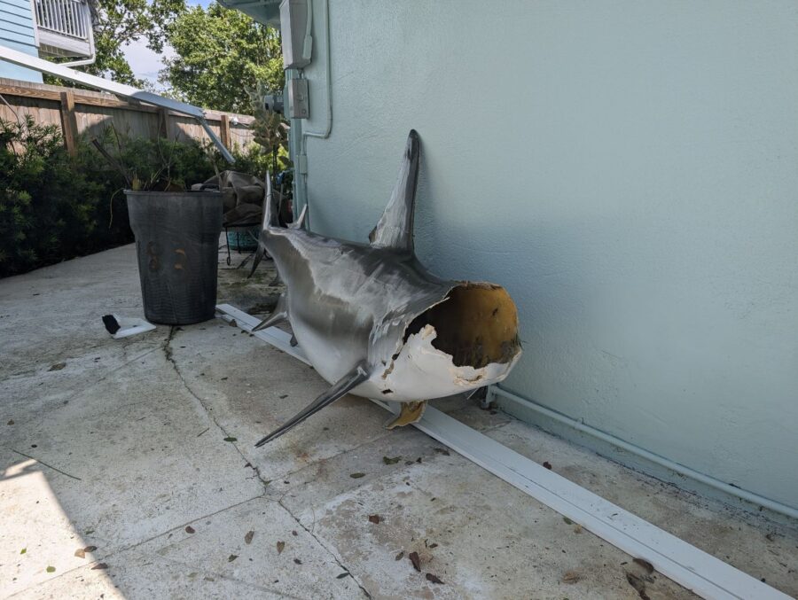
A resident on Ojibway Street said everything started flying everywhere. A screen cage over her raised pool is completely gone, said Debbie (who requested her last name not be used).
“All our furniture was over here, the furniture from our neighbor’s was over here, the furniture was over there. The BBQ ended up in the pool, just like my neighbor over there whose upstairs chair ended up in our pool,” she said.
More about a microburst
Per the National Weather Service, it all starts with the development of a thunderstorm and the water droplets/hailstones being suspended within an updraft.
“Sometimes an updraft is so strong it suspends large amounts of these droplets and hailstones in the upper portions of the thunderstorm. There are many factors that can lead to evaporational cooling (sinking air) and therefore weakening of the updraft. Once this occurs, it is no longer capable of holding the large core of rain/hail up in the thunderstorm. As a result, the core plummets to the ground. As it hits the ground, it spreads out in all directions. The location in which the microburst first hits the ground experiences the highest winds and greatest damage.”


