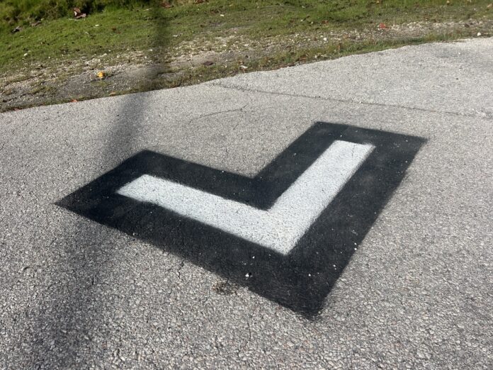
Over the last two weeks, the Weekly has fielded an enormous volume of questions, all asking the same thing: What the heck are those markings on the road?
Fear not – they’re not alien signs, they’re not sewer markings, and they’re unrelated to most theories posed on social media. The marks are used by Woods Environmental and Infrastructure Solutions Inc. to collect Light Detection and Ranging (LiDAR) data and evaluate Marathon’s road elevations. The countywide effort is “part of a larger strategy to strengthen and harden the city’s infrastructure and facilities in accordance with anticipated sea level rise and/or storm surge and flooding,” according to a statement released by the city of Marathon in January. The scans will reveal the topography of the Keys and potential low-lying areas of concern.


