


The Florida Keys’ Saturday morning official storm briefing for Tropical Storm Ian contained good news from warning forecast meteorologist Jon Rizzo of the National Weather Service.
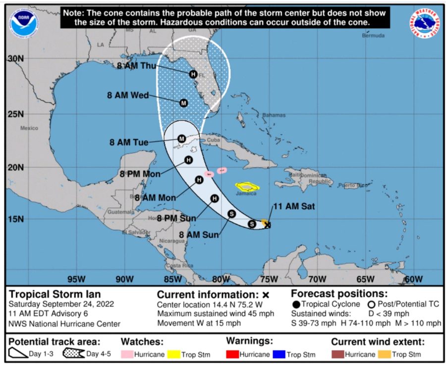
“We like what we see in terms of trends and guidance. We’re seeing a slight shift west,” Rizzo said. “While we can’t yet declare sunshine and puppy dogs, definitely in terms of the major hurricane question for the Keys, I think it’s safe to say the major hurricane strength will be west of us.”
No evacuations were issued Saturday morning, but officials will reevaluate that after the next briefing, which is at 3 p.m. Saturday, said Shannon Weiner, the county’s emergency management director.
Monroe County schools are awaiting the Saturday afternoon and Sunday morning briefings to decide any school closures.
Rizzo’s report also showed the storm slowing a bit, with its closest approach to the Lower Keys occurring Tuesday morning, but not pre-dawn Tuesday, “so I’ve given you an extra six hours or so, plus all day Monday given the storm’s slower movement,” Rizzo said.
“It’s also pretty clear now that the Upper Keys won’t face the same hazards as the Middle and Lower Keys,” Rizzo said.
“Tropical storm force winds could arrive as early as early Monday evening. Therefore, any preparations should be complete by Monday afternoon,” Rizzo said. “Hurricane force winds are also possible for some portions of the Middle and Lower Florida Keys, with the most likely time frame for the roughest weather midday Tuesday through Tuesday night.”
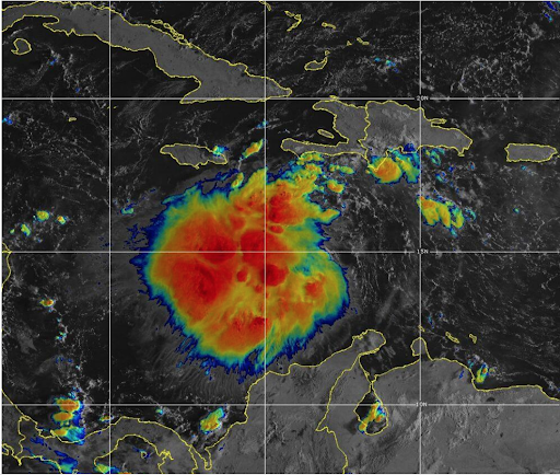
Tropical Storm Ian is still expected to become a major hurricane in the Gulf of Mexico, meaning a Category 3 or higher, but not affecting the Florida Keys as a major storm.
As of 8 a.m. Saturday, Tropical Storm Ian was 855 miles southeast of Key West and is expected to become a hurricane
Rizzo’s PowerPoint presentation states:
▪ Sustained tropical storm force winds are likely in the Lower Keys and Key West, and are roughly at even chances from Marathon through Islamorada.
▪ Chances for sustained 50-knot winds range from near 1-in-3 at Key West to about 1-in-10 at Key Largo & Ocean Reef.
▪ Chances for sustained hurricane force winds range from 1-in-7 at Key West to about 5% or less from Islamorada through Ocean Reef.
Again, Rizzo said, hurricane force winds are still possible, but not from a major Category 3 or stronger storm.
Stay tuned to keysweekly.com for an update following the 3 p.m. Saturday briefing.


